Best Publicpress products in the Map category
On this page you'll find a ranking of the best Publicpress products in this category. To give you a quick overview, we've already ranked the most important information about the products for you.
1. Publicpress Rhine Cycle Route 5 Cologne - Rotterdam Cycling Map 1 : 50 000
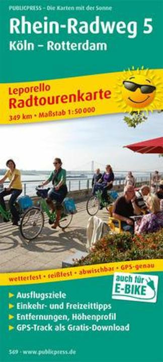
With this map, you will receive a detailed overview of the fifth section of the Rhine Cycle Route: the starting point is Cologne, and the destination is Rotterdam. The cycle path runs close to the river, sometimes on the right, sometimes on the left, and occasionally on both sides of the Rhine. Neuss, Düsseldorf, Duisburg, Xanten, and Wesel invite you to make stops in the flat Lower Rhine region. The Dutch section of the Rhine Cycle Route is also presented accordingly: the informational texts on the map excerpts reveal the tourist highlights that Doorenburg, Nijmegen, and Rotterdam have to offer. Thus, the Rhine Cycle Route map 5 proves to be an ideal travel companion.

2. Publicpress Franconian Switzerland 1:100 000 100000
The cycling map of Franconian Switzerland marks thirty-two long-distance cycling routes in the map section, along with mountain biking trails and road cycling routes. The area between Lichtenfels, Bayreuth, Bamberg, and Nuremberg proves to be a true paradise for cyclists. The reverse side of the map shows that you can enjoy not only sports but also cultural experiences and wonderful nature adventures: here you will find descriptions of individual routes, information about the nature parks, cities, and excursion tips.
3. Publicpress Cycling map Mulderadweg
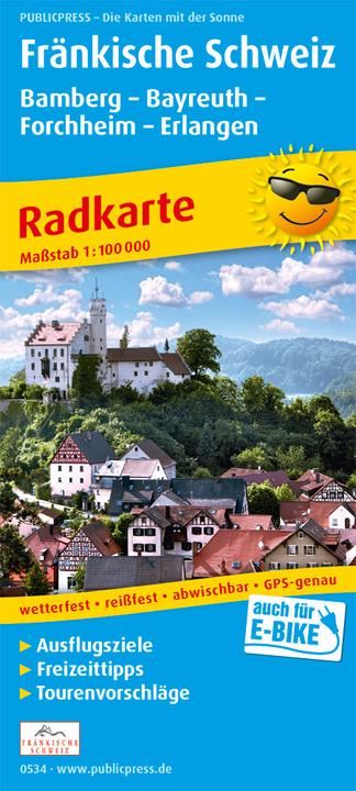
The first part of the three-part route along the Zwickauer Mulde starts at its source in the Erzgebirge Vogtland Nature Park. Numerous castles and palaces, dense forests and meadows characterise the landscape. Such a landscape also awaits cyclists on the shorter alternative route along the Freiburger Mulde. The two arms of the river join at Sermuth: the third part of the Mulderadweg follows the course of the river to its confluence with the Elbe at Dessau. The Mulderadweg cycling map by Publicpress is the ideal travel companion.
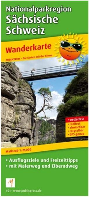
4. Publicpress Hiking map NP Saxon Switzerland
Bizarre rock formations and breathtaking views of the Elbe Valley are characteristic of the Elbe Sandstone Mountains. Both the Saxon Switzerland in Germany and the Bohemian Switzerland in the Czech Republic are detailed in the hiking map of the Saxon Switzerland National Park by Publicpress. Explanatory notes along the edge of the map highlight tourist attractions, such as a boat trip through the Kirnitzsch Gorge or the 112 km long Painter's Way, which leads to impressive rock formations and table mountains. The difficulty levels of the trails are clearly indicated in the cartography.
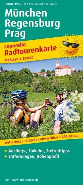
5. Publicpress Munich - Regensburg - Prague 1 : 50 000. cycle map
The cycling path leads from the Bavarian capital to Prague in the Czech Republic. The route not only passes picturesque places such as Freising, Kelheim, Neustadt an der Donau, and of course the UNESCO World Heritage city of Regensburg, but also offers varied landscapes that are ideal for cyclists. On the Feuersteinstrasse, one of the oldest trade routes in Europe, the path runs away from traffic through beautiful river valleys. On the Czech side, the route also utilizes nature-friendly paths through the Bohemian Forest, from Pilsen to Prague. A major advantage of the cycling map Munich - Regensburg - Prague is the listed accommodation options in the Czech Republic.
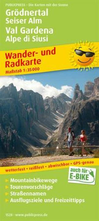
6. Publicpress Val Gardena, Seiser Alm / Val Gardena, Alpe di Siusi Hiking and Cycling Map 1 : 35 000 35000
The South Tyrolean Val Gardena is full of surprises. The home of the mountaineering legend Luis Trenker not only has its own language, Ladin, but also offers a spectacular mountain panorama along with a variety of outdoor activities in an impressive 300 sunny days a year. Against the unique backdrop of the UNESCO World Heritage Dolomites, with a view of Val Gardena's landmark, the majestic Langkofel, which rises 3,181 meters above sea level, all wishes are fulfilled. Whether it's culinary hut hiking, climbing, mountain biking on the legendary Sellaronda, or taking Ladin courses, boredom is guaranteed to be absent.
Val Gardena, Seiser Alm / Val Gardena, Alpe di Siusi Hiking and Cycling Map 1 : 35 000 35000
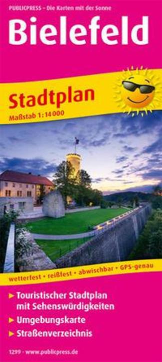
7. Publicpress Bielefeld
In the midst of the Teutoburg Forest lies the East Westphalian city of Bielefeld, which, according to a conspiracy theory, actually does not exist. However, the attractions and museums that await visitors are very real. The Sparrenburg, the city's landmark, is particularly well-known.
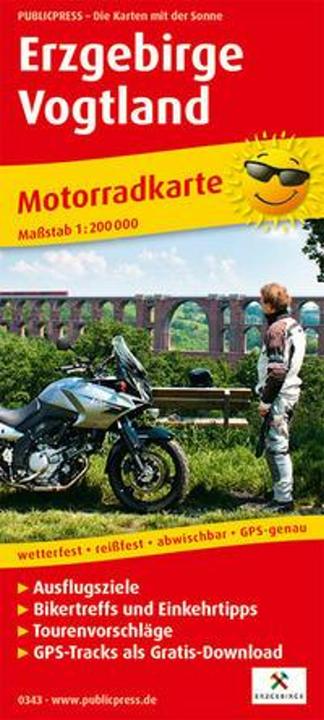
8. Publicpress Motorbike map Erzgebirge - Vogtland 1:200 000 200000
The motorcycle map Erzgebirge - Vogtland presents eight motorcycle tours. They lead through the low mountain range landscapes of the Ore Mountains and the Vogtland. On well paved roads, the routes lead from the Thuringian Slate Mountains in the west to Karlsbad in the Czech Republic. Well-known towns, castles, mining sites and the Fichtelgebirge mountains as well as biker spots make the rides particularly worthwhile. Refreshment stops and leisure tips along the routes provide information on the back of the map.
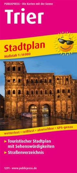
9. Publicpress Trier
On the trail of the Romans in Trier with the Tourist City Map Trier.
10. Publicpress Berlin city center map 1 : 16 000
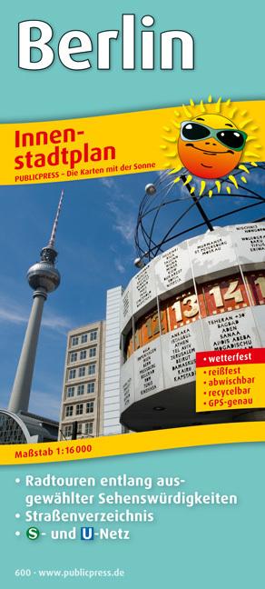
The city center map of Berlin proves to be an exceptionally useful companion for both visitors and residents of the city. The map section provides a detailed overview of the city center. The chosen scale allows for the identification of smaller streets as well as the symbols for sights and notable buildings explained in the legend. The back lists all the streets in the city center area in alphabetical order along with map grid references, explains the main attractions in the city center, and additionally presents the S-Bahn and U-Bahn network map of Berlin.
