Best Westermann products in the Map category
On this page you'll find a ranking of the best Westermann products in this category. To give you a quick overview, we've already ranked the most important information about the products for you.
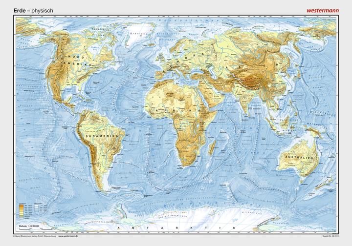
1. Westermann Pk Earth, Physical

2. Westermann PK Canada, physical
3. Westermann Home and World Atlas BW
Discover something new
The atlas provides insights into map work and all methods of spatial orientation. The methods are presented clearly and can be applied using the appropriate atlas maps. Each double page features an internet link that directs to map information and materials. The atlas includes a workbook that introduces map work.
Building on proven methods
Graphics, diagrams, and numerous photos facilitate the understanding of the maps. A colored navigation bar ensures quick navigation. Up-to-date and clear maps with comparable scales.
Regional section; Format: 31.5 x 24 cm; 208 pages; subject index; place index; table of contents.
4. Westermann Seydlitz Project Earth BW
The Seydlitz World Atlas Project Earth combines maps and images, providing students with immediate access to various subject areas.
The Seydlitz 'See and Understand Concept' illustrates connections through maps, satellite images, and photos, helping to understand the background.
It offers a clear content structure, for example, through legends with subheadings. Pictorial signatures are intuitively understandable and easy for students to remember.
GEO Workshop - Methods at a Glance
The methods page for map work provides step-by-step instructions that explain the basics of working with maps. This enables students to independently learn the method and have quick access to refresh their skills as needed.
GEO Focus - Gaining Deep Insights
The Seydlitz Knowledge Repository deepens key topics and promotes independent thinking. It allows for targeted content engagement without overwhelming material and enables a time-saving exploration of topics without lengthy texts and descriptions.
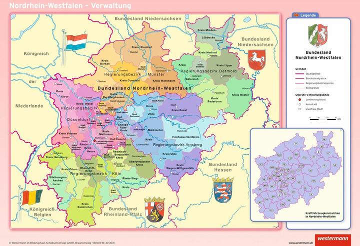
5. Westermann PK North Rhine-Westphalia,phys.,pol.
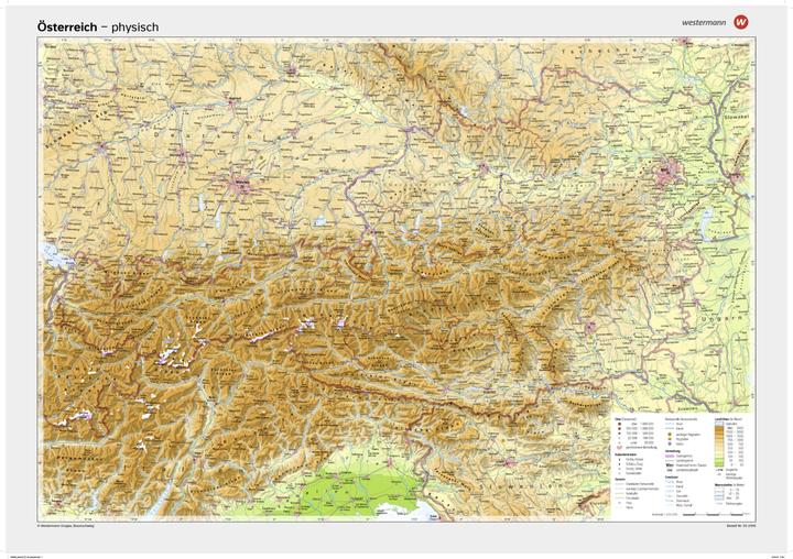
6. Westermann Poster mapoesterreichphysical
7. Westermann Diercke ZWEI Weltatlas 2025 - Baden-Wür
The edition includes a chapter with maps specifically for Baden-Württemberg. The state capital Stuttgart is presented in a scale-comparable comparison of a current vertical aerial photograph and an illustrative map of Stuttgart's city center, reflecting the latest status of implementation and planning. Climate maps for the state contain new, up-to-date data. There is a regional comparison of historical and current average temperatures and precipitation, as well as other parameters. The economic map clearly illustrates the energy transition in Baden-Württemberg by placing greater emphasis on decentralized and renewable energy generation. A newly developed overview of nature conservation in Baden-Württemberg is contrasted with a likewise innovative tourism overview.
