Best KKV products in the Map category
On this page you'll find a ranking of the best KKV products in this category. To give you a quick overview, we've already ranked the most important information about the products for you.
1. KKV Gorgas:Hiking guide Harzer Wandernadel
The opportunity to explore the entire Harz region with its diverse natural beauties, romantic cliffs and rock formations, as well as its special attractions, while also earning a hiking badge at different performance levels, has generated great interest. 222 attractive and varied stamping locations throughout the Harz area are waiting to be discovered. Whether it's a viewpoint, castle ruin, rock formation, or cozy rest area, there is something for every taste. The new 5th edition of the hiking guide 'Harzer Wandernadel' offers 18 hiking tours that allow you to get to know the stamping project in the Harz and makes it easier to start 'stamping' in the Harz. This handy hiking guide enables you to collect over 75 stamps across 18 hiking tours, allowing you to become a hiking king. The detailed descriptions and a small map for each tour make hiking and finding the stamping locations easier.

2. KKV Cycling and hiking map Schmalkalden district
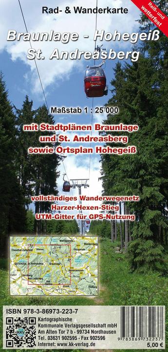
3. KKV Cycling and hiking tour Braunlage - Hohegeiss
Surrounded by the Harz National Park, Braunlage lies south of the Brocken and below the Wurmberg (971 m above sea level). This idyllic spa town, along with the districts of Hohegeiss and Sankt Andreasberg in the Upper Harz, offers everything for an adventurous holiday. A variety of hiking trails, such as the quality hiking trail Harzer-Hexen-Stieg, the Kaiserweg, the Harzer Grenzweg, and the Oberharzer Radrundweg, cross the region. The newly revised and updated, tear- and weather-resistant edition of the popular cycling and hiking map 'Braunlage - Hohegeiss - Sankt Andreasberg' presents the region in detail at a scale of 1:25,000, featuring the complete network of cycling and hiking paths. Additionally, the map includes a city map of Braunlage as well as local maps of St. Andreasberg and Hohegeiss, making it ideal for a discovery tour around Braunlage. The tear- and weather-resistant material ensures long durability. A terrain shading visualizes the low mountain range, and a UTM grid allows for the use of a GPS device.
4. KKV Biker and tourism map North Hesse
5. KKV Harz Hiking Pin
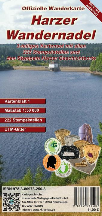
The opportunity to explore the entire Harz region with its diverse natural beauty, romantic cliffs and rock formations, and unique attractions, while also earning a hiking badge at different performance levels, has generated great interest. 222 attractive and varied stamping points throughout the Harz area are waiting to be discovered. Whether viewpoints, castle ruins, rock formations, or cozy inns, there is something for every taste. The newly updated edition of the official map set of the Harzer Wandernadel presents the Harz with its 222 stamping points on three handy, weatherproof maps. The hiking trail network of the Harz Club, updated in November 2022 and at a scale of 1:50,000, makes planning hiking routes and reaching the stamping points of the Harzer Wandernadel easier. Additionally, the new stamping points related to Harz historical sites for the themed badge "Castles & Palaces" are shown on the map. The 32 red stamping boxes are located at regional historical sites and provide insight into the historical significance of the Harz. A UTM grid allows for the use of a GPS device, and the integrated terrain shading visualizes the low mountain range.
6. KKV Cycling and hiking map Diemelsee, Twistesee, Edersee
7. KKV Kte.Geo-Nature Park Frau-Holle-Land
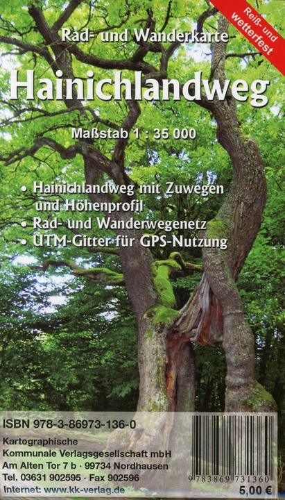
8. KKV Cycling and hiking trail Hainichland Trail
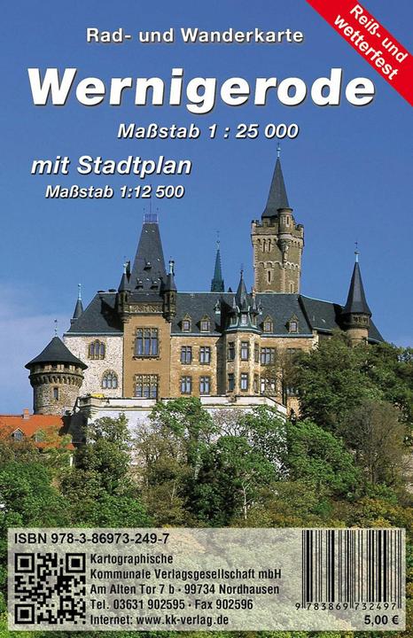
9. KKV Wernigerode
10. KKV Blankenburg - Harz Mountains
